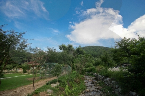
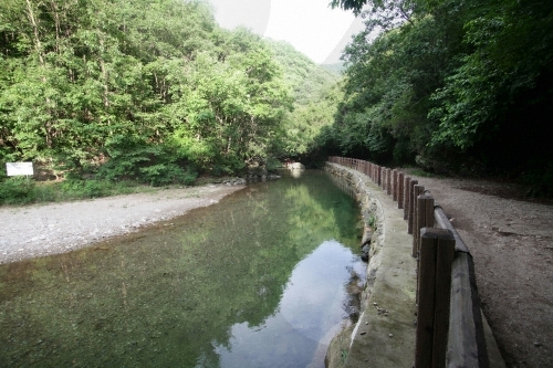
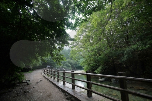
Originally, no name was given to this mountain on topographical maps. But in 1973, when the Empor Alpine Club reached the mountain during a hike across the nation, the club members named it after Jin Yu-myeong, a member of the expedition. On old maps, the mountain had been called Mayusan Mountain because of the horses raised in the area, but today it is more widely known as Yumyeongsan Mountain. The trail that starts from Yangpyeong leads to an expansive and open grassland. The hiking trails are also connected to those of Mount Daebusan and Mount Sogunisan. On the summit, there is a pile of stones, and the view from the top is splendid.
information
- Mountain Not Access Period Seasonal Forest Fire Watches Br Spring March 2-april 30 Autumn November 1-december 15 Br National Park 15-december Excluding Gyeongju And Taean Periods Areas Are Subject To Change Based On Fire Weather Advisories Snow Precipitation Levels Other Local Conditions
- Restricted Mountain Areas A Title New Window Popup Href Http Hiking.kworks.co.kr Sub Map User01.aspx Target Blank Refer To The Website.
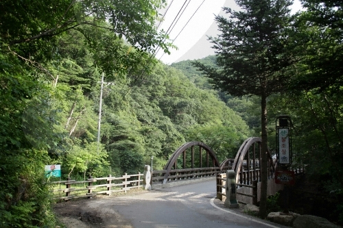
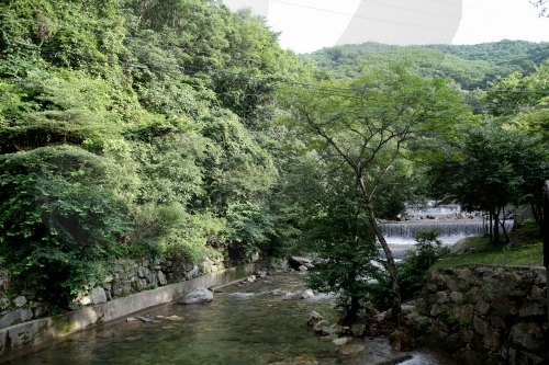
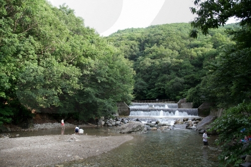
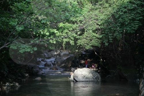
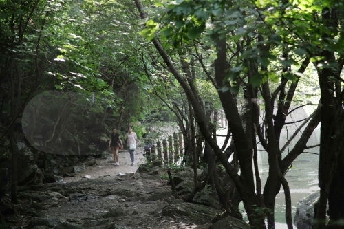
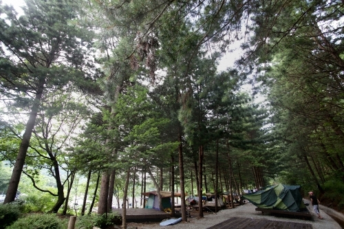
- Hiking Course Course 1 Yumyeongsan Recreational Forest Office Odalsaem Spring Peak Valley Yongso Bakjwiso The Nbsp Entrance Of Valley Br Course 2 Gail-ri Parking Lot Direction Board Peak 4.3km 3 Hours Bungneung 2.6km 1hr 30min
- Restrooms Available
- Inquiry and guidance 1330 Travel Hotline 82-2-1330 Br Korean English Japanese Chinese For More Info 82-31-582-8830
- Parking facilities Available
location
Okcheon-myeon, Yangpyeong-gun & Seorak-myeon, Gapyeong-gun, Gyeonggi-do
tag
최종 업데이트: